I must confess (in case I haven’t already, which I have) that the Mountaineer’s Route ascent of Mt Whitney has had me concerned for some days now. Concern can be a quagmire we lose our bearings in. Perhaps here too. As with so many sources of concern, now that it’s over I can again say No Big Deal.
To keep with the theme of late, my sleep was imperfect. Throughout the night I was reminded why I almost never sleep in well-established and frequently-used camp sites, and that’s the opportunistic rodents who have learned (wisely) to make their living there. I could here mice crawling in and out of my backpack all night (I don’t put it in the tent with me because it wouldn’t really fit), and even though all my food was in the bearcan I must lug with me everywhere, and almost everything else was inside my tent, the rodents found plenty to keep them busy. I was warm inside my rain clothes inside my sleeping bag, the ground was very flat and ground-pad-friendly, and so when I woke up to the sound of scurrying, scampering, and chewing, at least I wasn’t suffering.
The strange magic of sleep is that you’re always awake when you’d rather be sleeping and you’re finally sleeping when it’s time to wake up. I ignored a couple alarms before deciding I had a big job to do, and might as well rise and do it. I was packed and ready to begin the climb when the day was still ashen, and just as I shouldered my backpack the sun crested a rise to the east and lit up Mt Whitney. I walked into that delicious, honeyed light and began the labor of climbing.


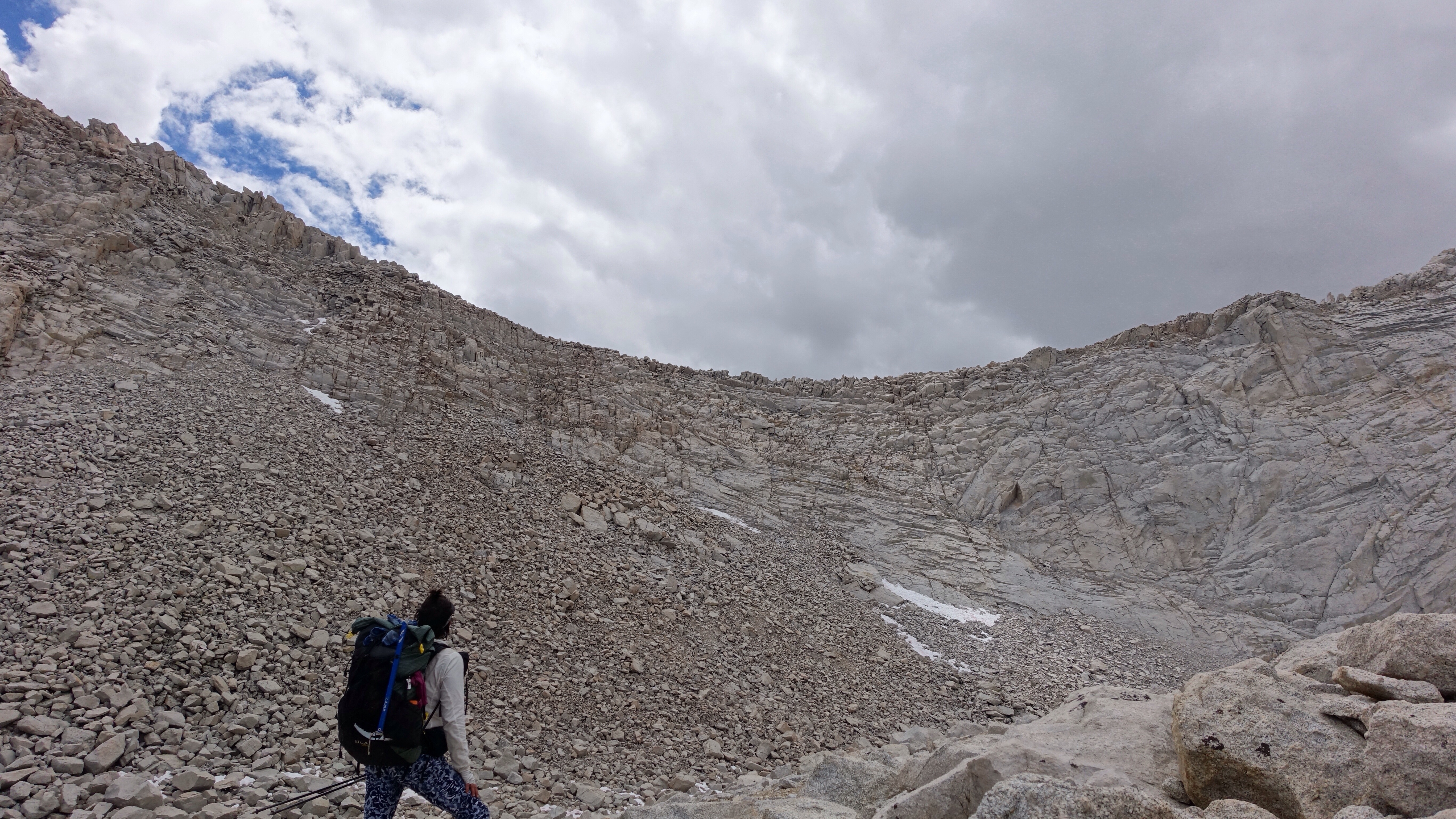
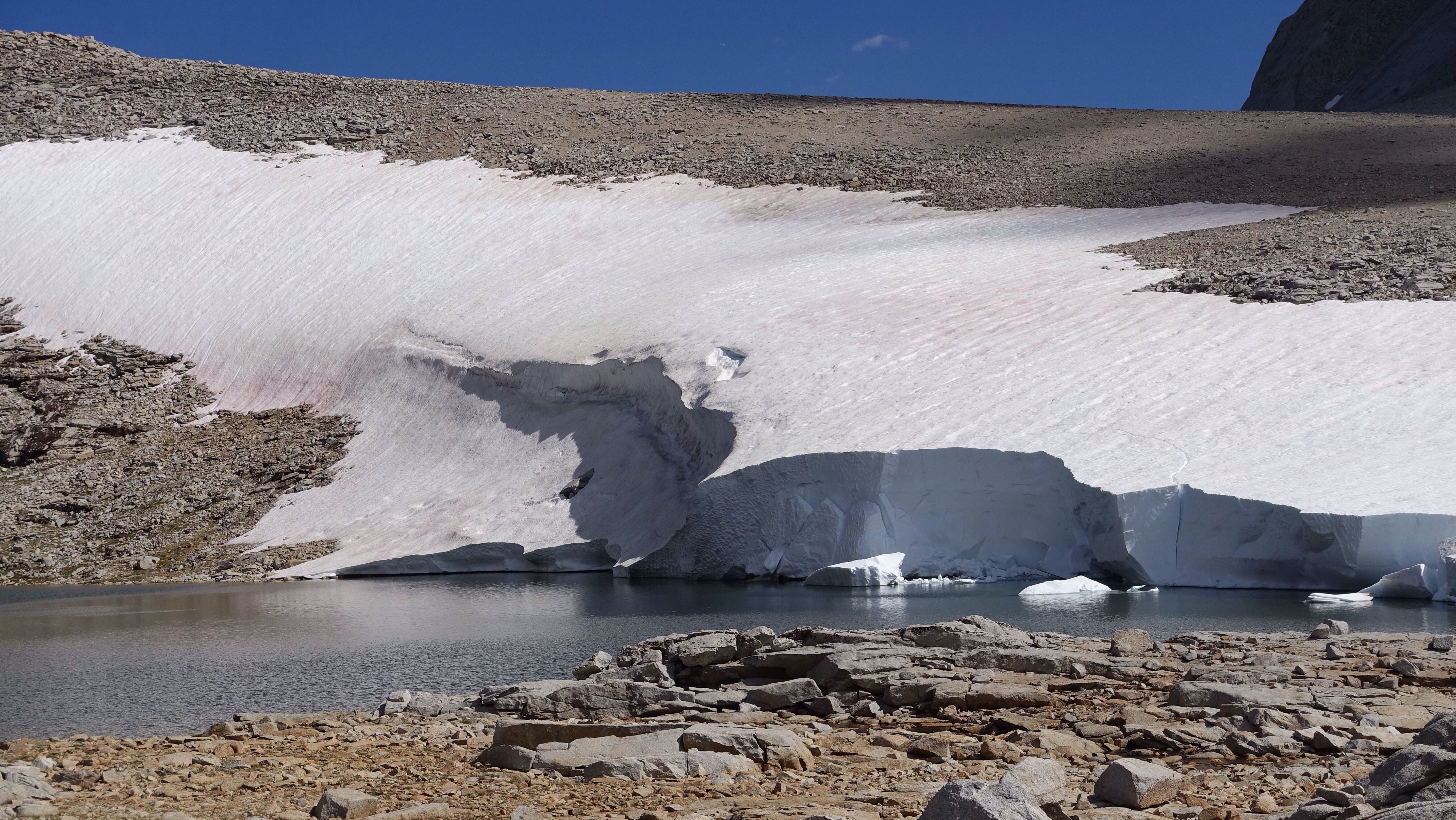
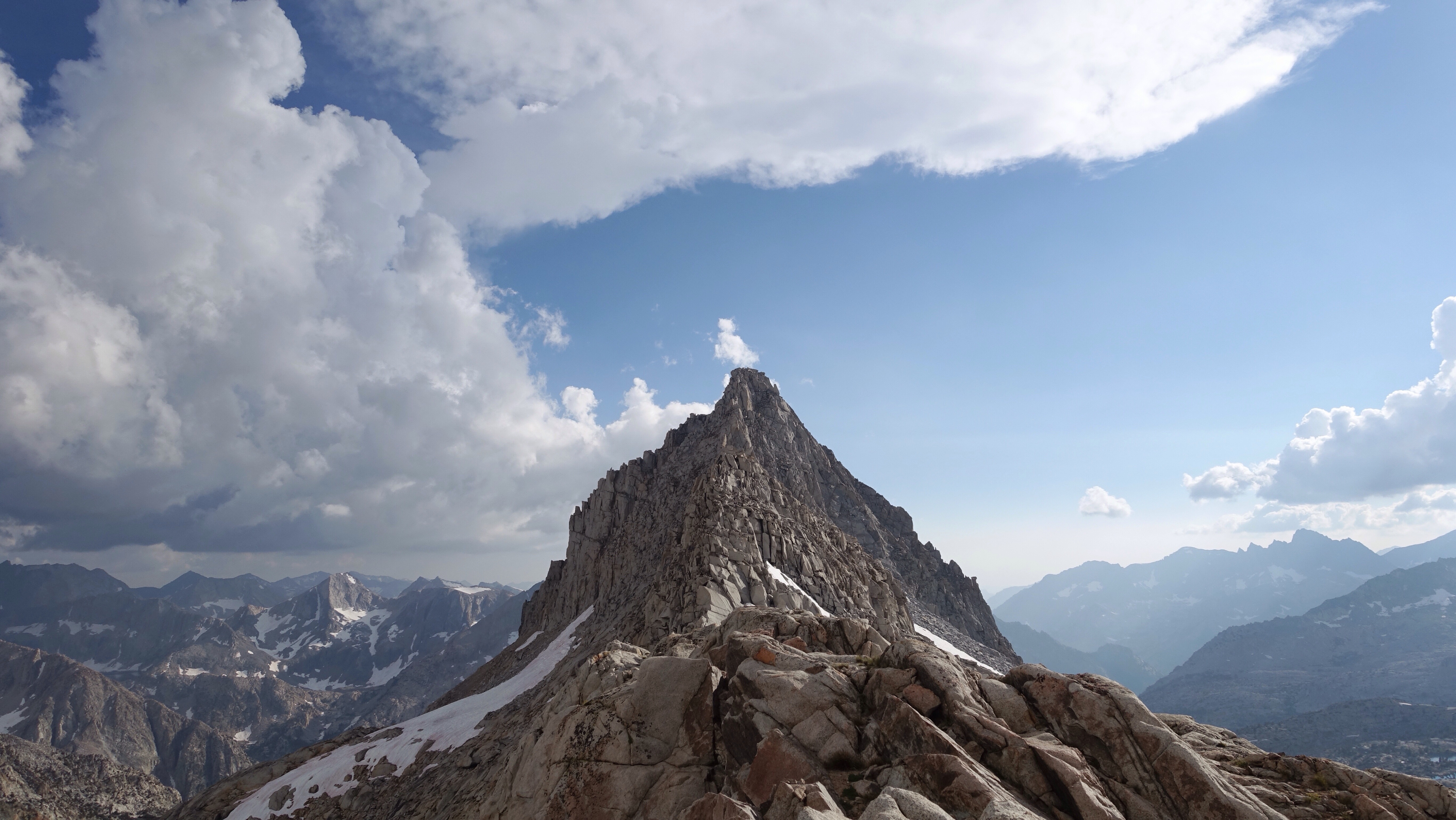
For a few hundred feet it was a steep scree slope, and then the entire couloir I was climbing, narrow and bordered by golden granite walls, was filled with very steep and wickedly-suncupped snow. The snowfield continued for maybe a thousand vertical feet. I shimmied over to a heap of rock hemming the gully on its right and climbed there for a long time, scrambling from one secure outpost to another, avoiding the snow until the rocks became vertical and I was forced into the couloir with the snow. I put on my microspikes and wielded my ice axe, and for the first time on this trip found it necessary to use it to climb, like so: swing the pick into the snow above your head, and then pull yourself up using the handle, kick a secure step with one foot, and repeat. It was tiring and exhilarating, but mostly tiring, both physically and because of the heightened amount of vigilance required to keep from falling. It’s a very high-tone body and mind state, but part of the joy of climbing things is that the body and mind become deeply synchronized, a way of being that often eludes us on daily living. Yes, high-tone, but also clarity. In any case, it only lasted a few hundred feet before the snow ended, and I had a few hundred feet more to climb before the notch at the top of the couloir. I climbed this last stretch of scree, glad to be done with the rigors of the snow, and turned my attention ahead. In the preceding days, I had been most worried about the last 400 feet of the climb, after the notch at the top of they couloir. It was supposedly steep and technical, and I heard that the exposure was intimidating. Yesterday as I climbed up to Iceberg Lake, I encountered a descending guided party of climbers, and when I was talking to the guide about conditions on the climb, he said they rope up as a group for the last 400 feet after the notch, for safety. (He also said they rope up on the snow in the couloir.) How risky could the 3rd class climb be to require roping up?


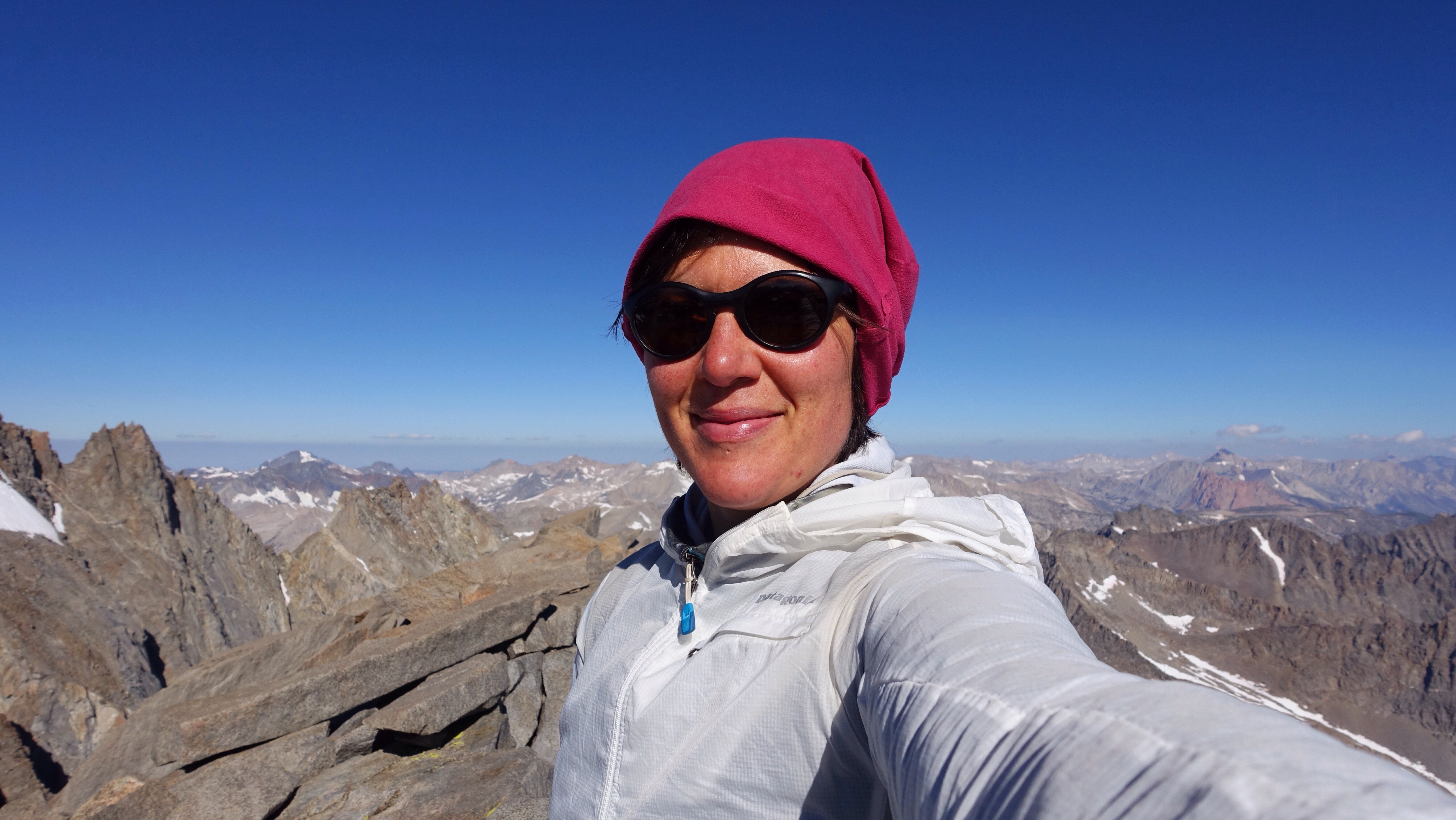
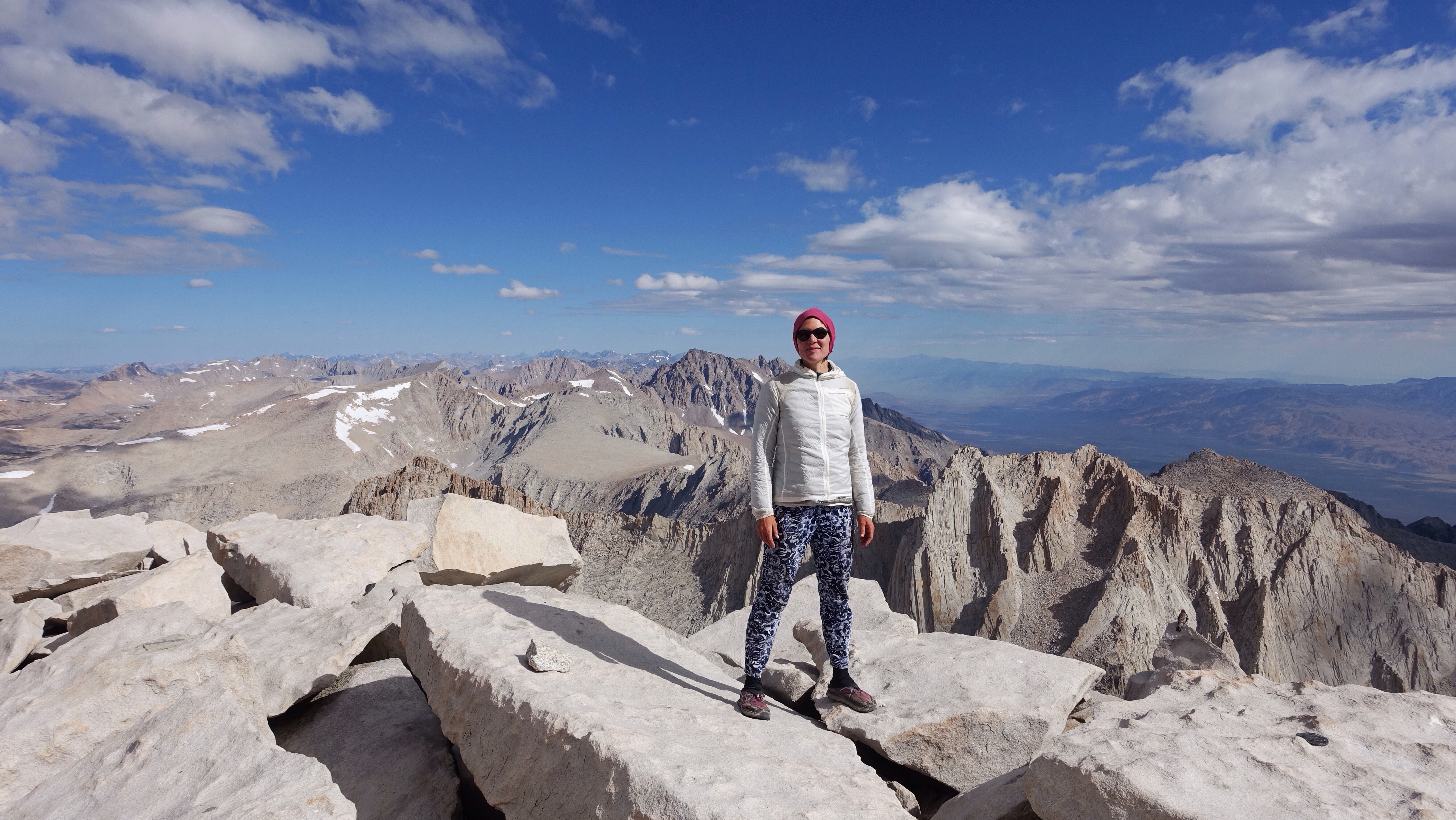
But guess what: No Big Deal. From the notch I dropped a few feet to the west and then climbed up the first gully to my left. I did have a moment of pause, wondering whether it was the correct gully, since I could see a couple more gullies lay beyond this one and a patch of snow showed a well-worn boot track heading that way. I decided to try the first gully and see whether it would go. Two things complicated this last part of the ascent. The first is a giant snow patch covered the upper right half of the chute. The second is the melting snow had frozen into ice on the rocks over night, making pretty little ice falls the hung down in columns. Even with these compromises, this last chute was stunningly easy. I felt like I had done harder and more exposed scrambling avoiding the snow in the couloir. It was 3rd class, yes, and there was some ice covered rock and I was forced left onto slightly higher angle terrain, but it was smooth and pleasant sailing upward. I quickly emerged blinking in the sun on the flat, broad summit of Mt Whitney, just shy of 14500 ft. There were already day hikers and JMT thru hikers up there who had taken the trail (Mt Whitney has a very well-built trail that climbs to the summit from the east and south), and I joined the cluster at the highest post of the summit, the highest in the land. I sat, I looked, I snapped a few photos. I was moved by the contrast of my days of fears and the reality of the climb. It is sometimes so much harder to not know that we decide we do know, but with bad outcomes. After musing and admiring the view, I packed up and headed south down the trail at 10am, still planning to get a full day of hiking in.


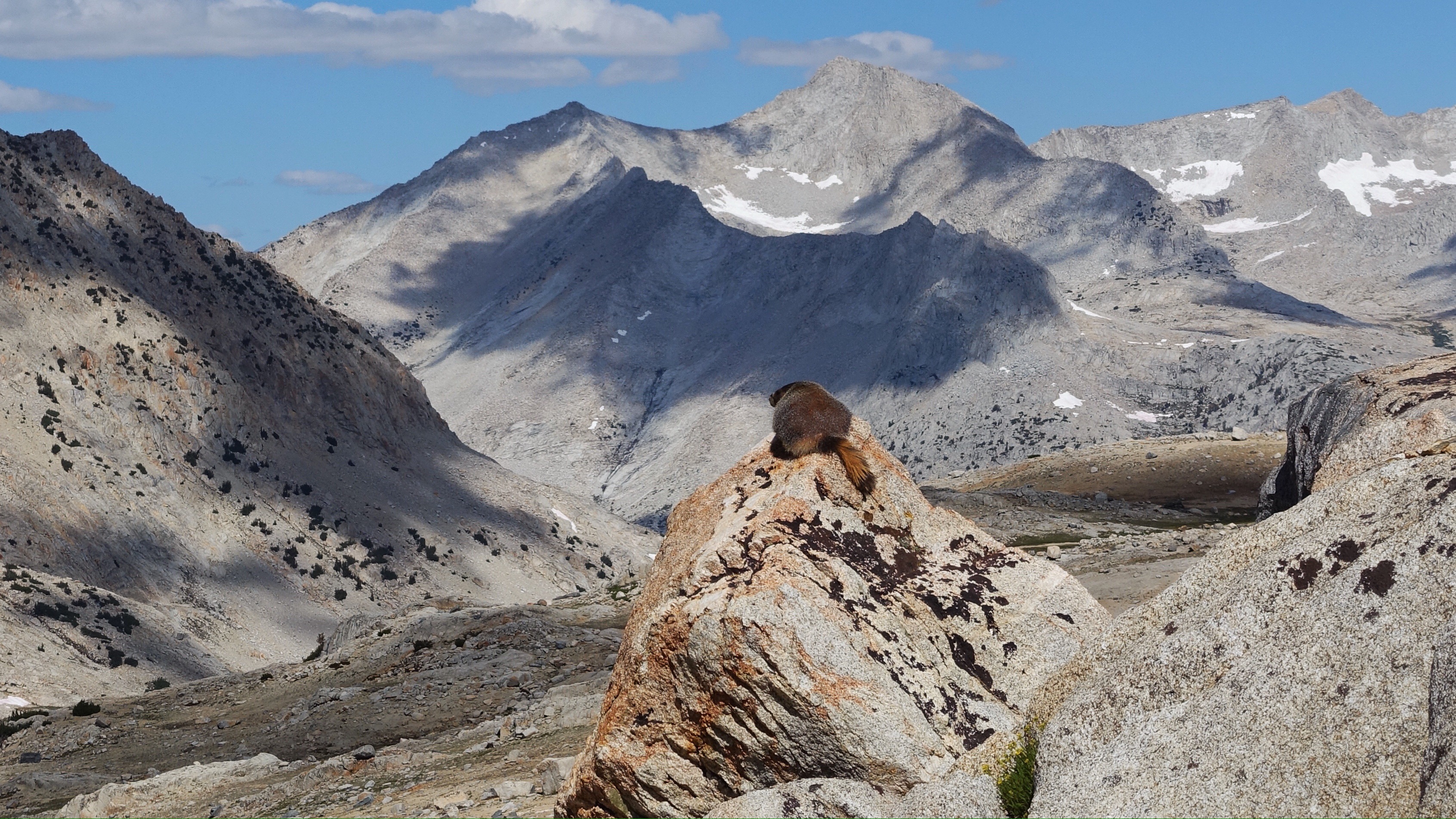
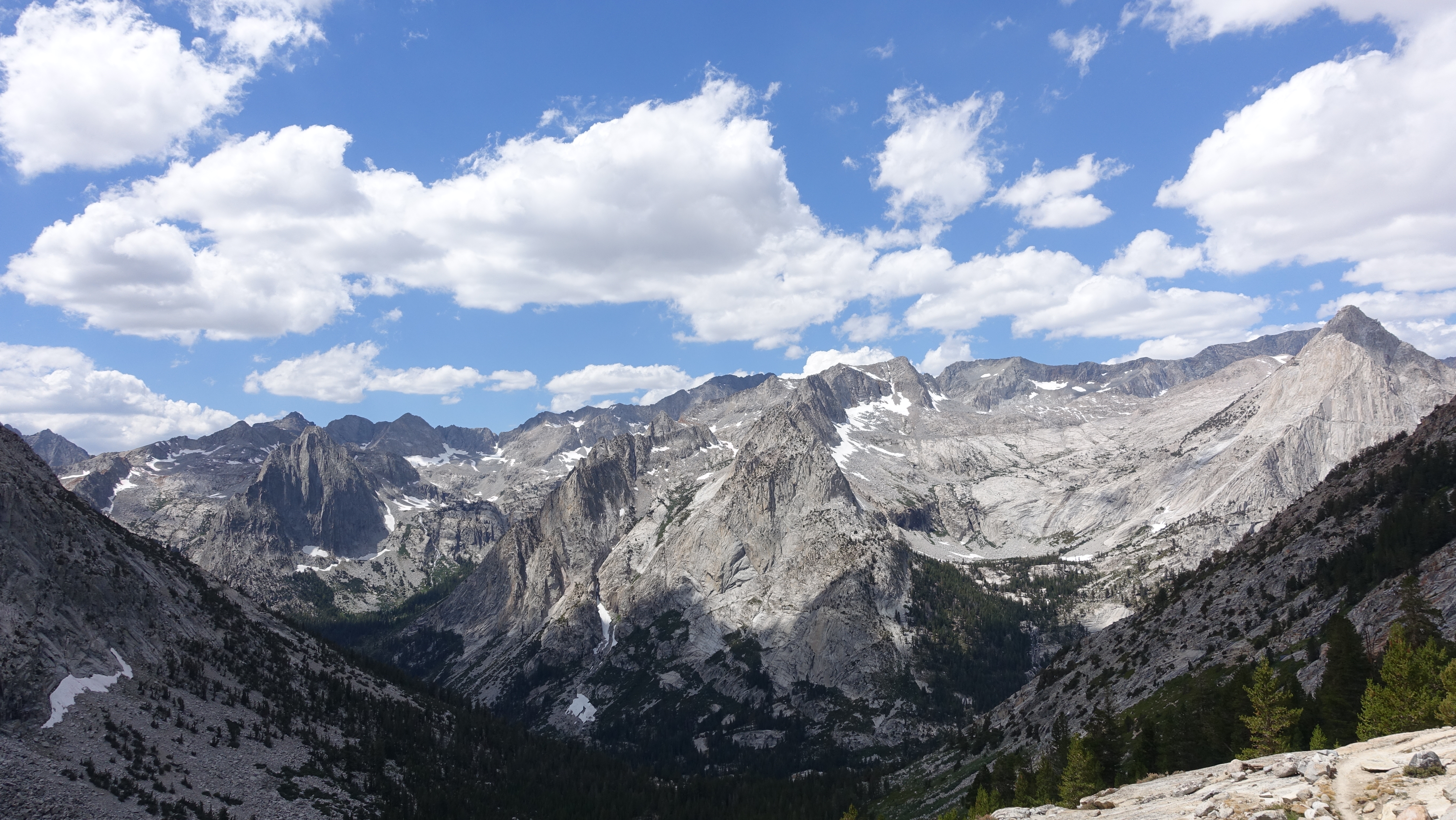
I passed many many many many people during the 2.5 miles I was on the trail. Day hikers and thru hikers both, all planning to stand on very tall Mt Whitney and grunting their way up this trail that snaked along the gentler west sides of Mt Whitney and its neighbors, almost as tall and equally imposing. To the east the set is like a row of jagged teeth taking a bite out of the skyline. But the western sides are talus-strewn humps, still plenty steep but not the sheer escarpments on the east side. The trail slowly descended though not much, and then I left it abruptly at a switch back. I wondered if it was strange to those hiking up from below, to see me just leave the safety of the trail and climb straight up to the crest of the ridge on steep blocky talus, but if it was nobody said anything.
From the crest I had another very long, very sandy drop from a ridge to the valley below. This one was very similar to coming off Junction Pass or descending from the Russell-Carillon Col. It felt like miles and hours of sand. I know it wasn’t miles, but it also wasn’t fast to navigate small sets of cliff bands that created abrupt drop-offs. The instructions were to look left for ledges but I tried going left and got cliffed out, and had to go back right. I managed to come down to the edge of the lake sitting snug on the valley floor, but was too far west and had to cross a couple steep snow fields to get to the east end of the lake. Routefinding squiggles back and forth across the hillside, as the little hiker gets stumped by the humblest of obstacles. Anyway, I made it down all the same, eager for a rest at the bottom.
Just as I was about to unpack my lunch and take a break, it started to rain. So everything went back on my back and I continued, up to Crabtree Pass over slabs and loose rock, and then down through a labyrinth of rock and lakes and streams, carefully and successfully following the landscape down to Sky Blue Lake. Still it continued to rain, off and on, never as hard as it rains in Washington, my home state, but enough to keep me moving. I was getting hungrier and tireder, and my ankles were flared up from the steep climb up Whitney, so when I came to the outlet of Sky Blue Lake and the rain had ceased, I gratefully stopped to eat some crackers and salami, and to try massaging the throbbing tendon in my right foot. It was my first break since the summit of Mt Whitney. What a day, I thought. What a lot of up and down. What a lot of steps.
The terrain was about to change, from rock and water basins to gentler meadow. I expected to encounter a use trail somewhere in the meadowy descent along Rock Creek, and then pick up an actual trail, which would mark the end of my cross country for this section. It was a tender moment, sitting with my lunch and with the lake, at the transition between the rigors of the high route, the rocky and steep and challenging terrain behind me, and the soft ease of the meadow land and then trails to come. It’s only a temporary pause in the ongoing high route explorations, but a real one nonetheless.
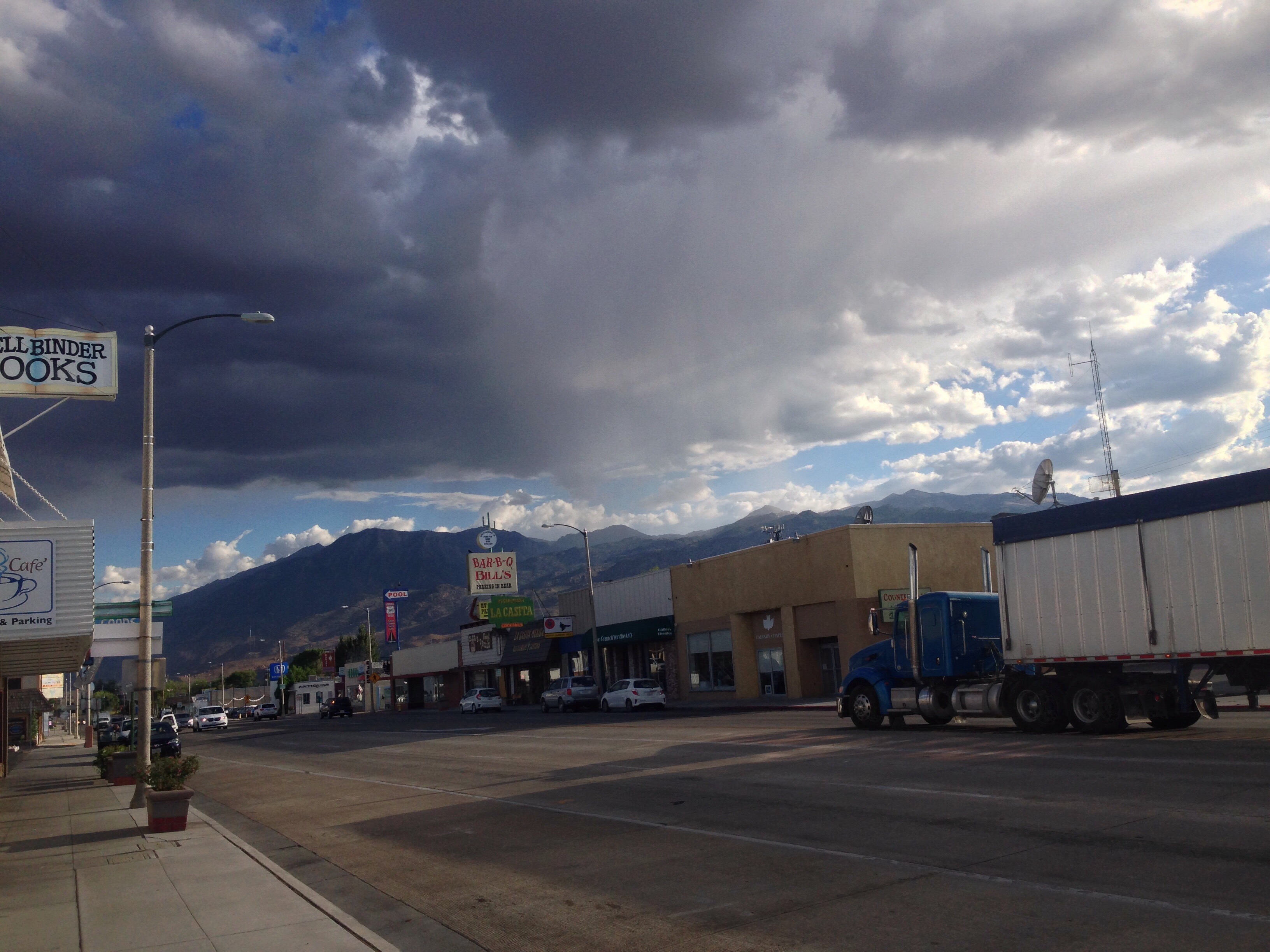
As the Rock Creek drainage continued to the south, I almost could feel the change in the mountains. As though I could feel that I’m near the southern end of the range. It’s drier, the sky is bigger, and suddenly the mountain tops seem more timid. I eventually found my official trail, and began climbing towards my last pass of this section, New Army Pass, before pulling over to camp in a lovely sand-washed cirque just below the pass. Tomorrow I’ll come out at Cottonwood Lakes Trailhead and hitch into Lone Pine for resupply and rest.