The nights are getting colder, and longer too as our little rock tilts farther away from the sun. Last night was the coldest yet, and in the morning the grasses and my pack were covered in a fine layer of frost.
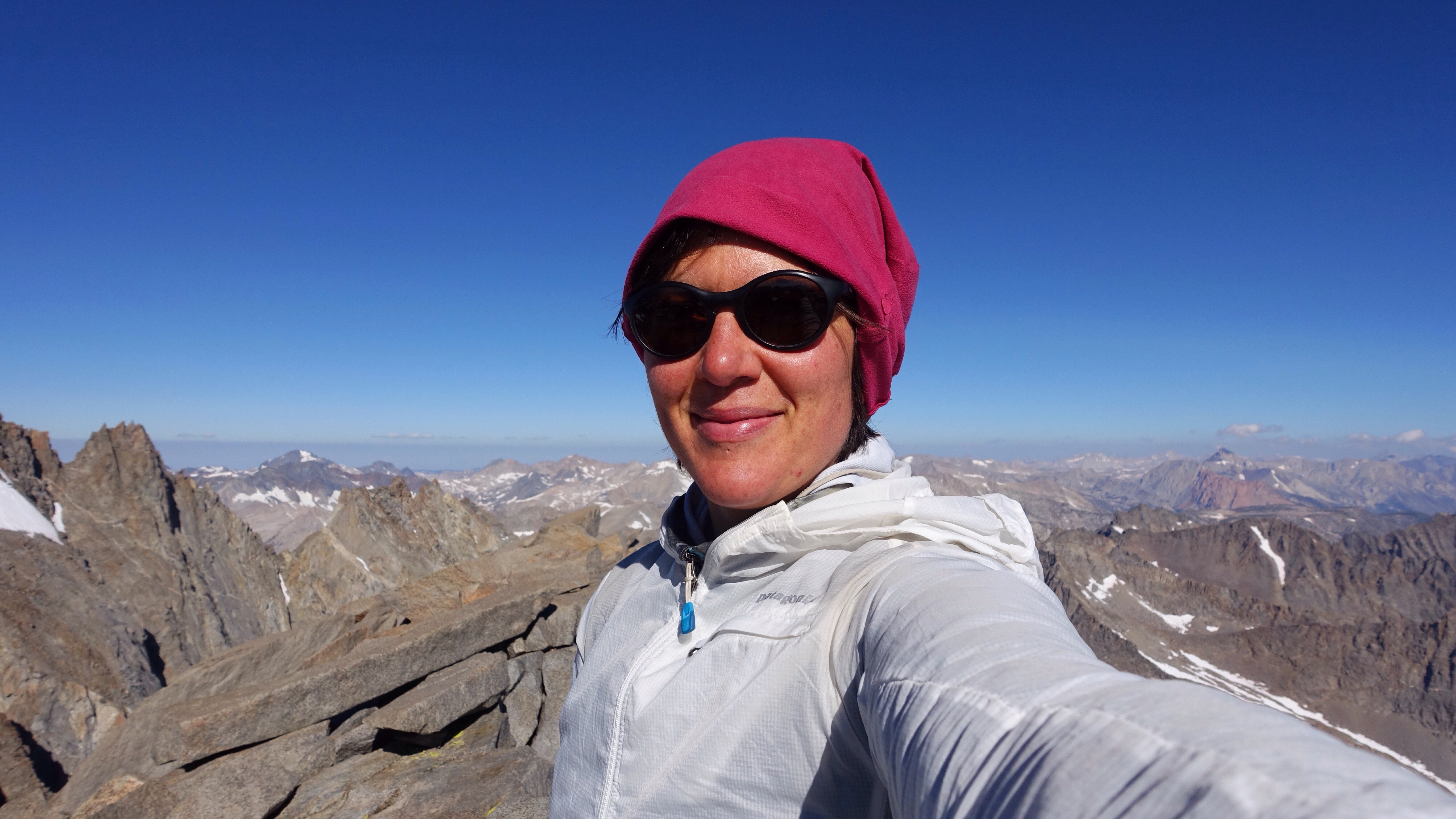
I bounced out of bed at 5:30a, packed my bag with some snacks, water, rain clothes, and a map, and left my tent set up and my sleeping bag unstuffed, hopeful that the heavy moisture accumulated overnight would dry while I was away. By 6a on the very nose I was climbing away from my little camp at the base of Potluck Pass and headed for Mount Sill (14159 ft). It hides well from the west, tucked behind Polemonium Peak. Really well. As I entered a drainage hemmed by mountains, I thought that a tidily triangular one directly in front of me was Mount Sill. It was confusing because the southwest ridge I was supposed to ascend actually ran to the northwest, and it seems bad practice to call a mountain ridge the southwest one when it’s pretty much the opposite. Moreover, the summit looked lower than some neighboring peaks, which didn’t make sense because Mount Sill should be higher than most of its neighbors, but I wondered if it was simply a matter of the optics of where I was standing. As I drew closer, the ‘southwest ridge’, which was actually a northwest ridge, looked impossible to climb without climbing gear. All of this to say, I didn’t seem to know where I ought to go. I was confused enough that finally I turned on my GPS, just before scrambling up a chute of talus to gain the ridge, and realized that all my doubt was well-placed, because that triangular mountain whose ‘southwest ridge’ actually ran northwest was in fact Mount Jephson, not Mount Sill. I turned to the next mountain on my left and surveyed the real Mount Sill, the neighboring peak, and the correct talus slope that I would ascend to its southwest ridge. The ridge was supposed to border a cirque it shared with Polemonium Peak, and I thought I was in that cirque, so I climbed a steep talus and scree slope until I reached solid rock on what looked like a southwesterly ridge descending from the summit. It was hard to find a way to move from the talus to the solid rock at first since much of it was rather cliffy, but I found a way and began ascending steep blocky talus towards the top. When I arrived, I found it was not the top. It was a false summit tower with dire cliffs dropping hundreds of feet straight down on the other side. Again, I turned on my GPS and discovered I wasn’t on the west ridge at all. I was on Mount Sill’s face. (What have I learned about ascending faces?) Mount Sill’s face has multiple gullies, maybe six or so, most of them filled with talus and sometimes hemmed in by sheer walls. I made a long and confusing ascending traverse across the gullies, hoping I could connect to the southwest ridge. Eventually I was only two gullies away from the ridge, but I couldn’t cross the one I was in because of a cliff band along its edge. I ascended to the very top of my gully, skirting below the cliff bands, and my altimeter showed I was less than a hundred feet from the summit. I almost gave up there, but having come so close I decided to give a crack in the cliff one last shot. In a tough series of climbing moves involving a couple hand jams and foot jams up the crack, I managed to overcome this last troublesome obstacle and gain the summit, after three and a half hours of determined and tiring ascent. I signed the register. I took photos. I felt my breath raspy and thin when faced with the dramatic drop-offs to the east. And then I skedaddled, not wishing to linger too long, descending by way of the west ridge, the one I had been looking for (and seriously misplaced) on the way up. It was a steep descent, mostly class 2 but some class 3 thrown in near the summit, and after carefully picking my way down scree, talus, snow slopes, and finally meadowy benches, I arrived back at my tent a little over five hours after I left it. I was exhausted. More tired than I’ve been at any other point on this trip so far. I had a snack, packed my bag, and began hiking again, thinking about being lost, whether I ever was, and what the confusion of sense of place feels like. In this era, with our GPS devices and our emergency signaling devices, I’m not sure we can become lost in the ways of our ancestors. I suppose we’ve replaced those with our own modern means of disorientation and confusion.
Over Cirque Pass, itself requiring some complex navigation as result of all the snow, and down the other side. I was so tired, my legs had no appetite for movement at all, and I felt like every part of me had to be dragged along, which meant I also felt like there was no part of me with the capacity to do the dragging. (Is I the one dragged, or is I the one doing the dragging?) While descending Cirque Pass, my instructions from Dixon and Wilson (and from Roper, since the Sierra High Route and the Southern Sierra High Route overlap through here) were to keep right and look for ramps. I did ok for a while, but towards the end I bungled it up, another navigation misstep, and ended up descending steep, rounded granite cliffs ribboned with fat waterfalls. It was slippery, treacherous, slow, and tiring, and I was already worn out. Clearly I didn’t keep right enough, but the ambiguity of the instruction made it hard to interpret. Ramps can be hard to see from above. Indeed, much of the time I’m just walking towards what looks like the end of the ground out here on these very steep descents, and only discover what there is to walk on when I’m almost on top of it.
After I resolved that little navigation fiasco, the second of the day, I had many miles of John Muir Trail, along Palisades Lakes and over Mather Pass, where my navigation, indeed my attention, wouldn’t be required. But my tired body was necessary, and I dragged my ass along, one slow slow s-l-o-w step at a time. Once I dropped past tree line on the south side of Mather Pass, I stopped to make camp.
Not many forward miles today. One mountain climbed. One hard cross country pass. One straightforward but tiring trail pass. One beat up body. One sleepy hiker.


Climbing mountains involves going down, going up, and shaking.
Leave a Reply