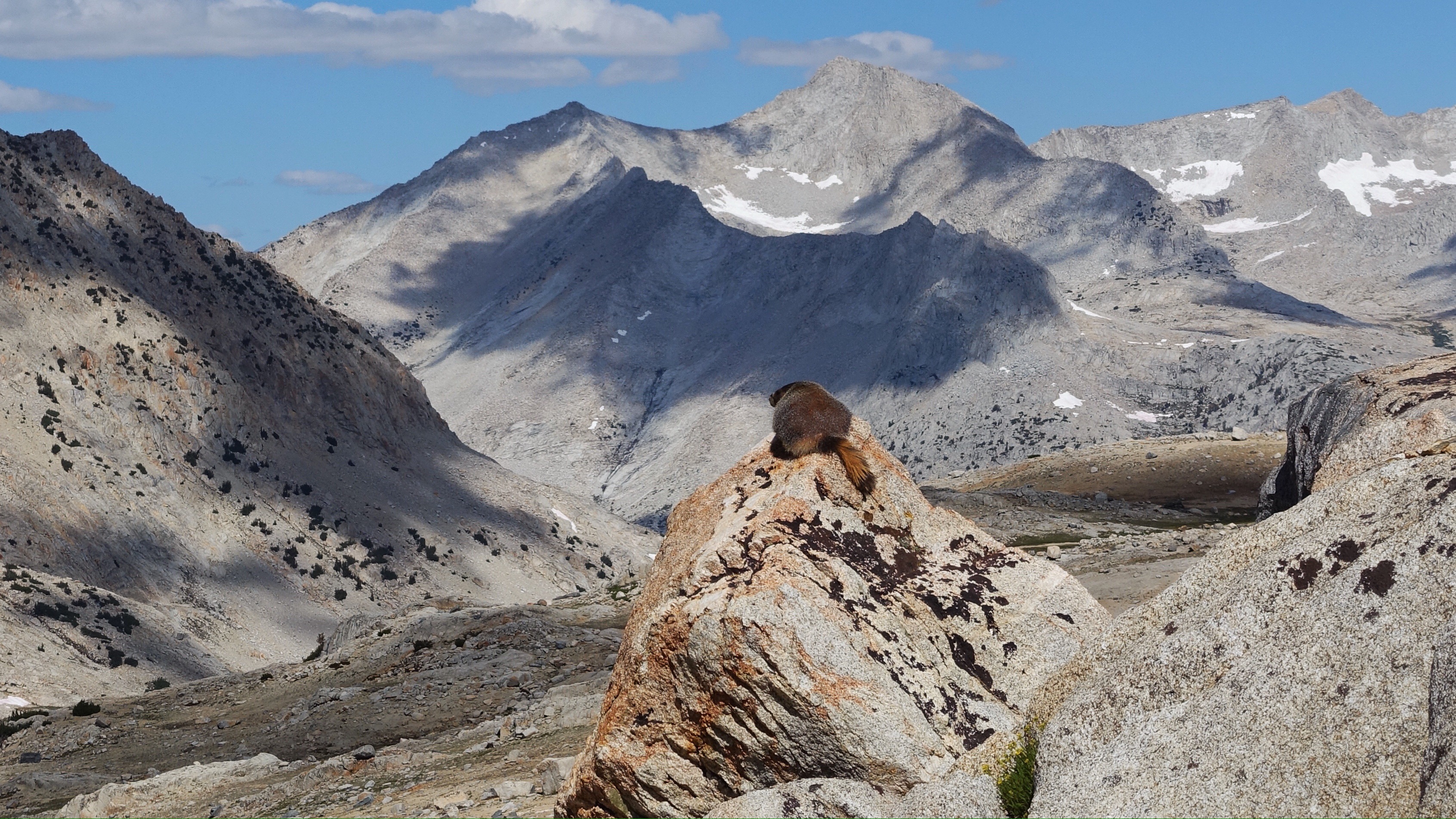
I woke up tired. Silvery monochrome dawn changed to technicolor, and finally I struggled out of my sleeping bag and tended to my morning tasks, hoping the light would seep into me and fire me up.
Once walking, I was again on the John Muir Trail, for a number of miles, from my camp just at treeline below Mather Pass, down for several miles to meet the nascent South Fork of the King River, and then up for four or so miles to Pinchot Pass, then down for several miles until I took my leave of the trail and its crowded community of hikers.
I had the option to leave the JMT early and cut due south to climb the pass between Coliseum Mountain and Mount Cedric Wright, but I was able to eye the pass as I descended from Pinchot and it looked like a steep, 600 foot scree slope, and steep scree slopes are some of the worst kinds of walking. Instead I passed around Mount Cedric Wright on the west, following the JMT, until I came to the Sawmill Pass Trail, whose sign indicated it was unmaintained. Ah good, my favorite kind of trail. I left the busy turnpike of the JMT, wide and well graded, and began following a skinnier and overgrown trail but one that clearly was carefully constructed at one point in time, bearing all the hallmarks of a trail crew: switchbacks, rock steps, etc. The trail climbed among the granite slabs at the base of Mount Cedric Wright for a while, and as it leveled out amid meadows, it began to fade, in and out, in and out. A mule or a horse had come through the trail this season and left behind horseshoe prints and manure, now hard and brittle balls, but I took comfort in the imprint left by the animal’s passing. For some reason, perhaps lingering tiredness, perhaps simply the vagaries of a trip like this, I was very soft and tender-hearted all day. I felt like a small smudge of human melancholy. I am plumbing into loneliness, despite the multitudes I encounter when I am on the JMT, or perhaps in part because of. So there’s that too, step after step after step with an ache for something warmer, more familiar. You just throw it in the basket with all the rest, the sore ankles and endless talus and curry couscous dinners and so on.
In that basket also was the strange comfort I took in the absent pack animal. I could imagine its enormous liquid eyes, its patience as it navigated rocky, unmaintained trail. I kept on in this imagined company, a little sad, until it was time to leave this trail too and head south cross country towards Mount Baxter. The SoSHR offers this as an alternative to following the JMT for many more miles, but I get the impression it’s an option less traveled by SoSHR hikers. At first I couldn’t figure out the right place to turn, and the description was too vague to be helpful, so I turned on my gps for confirmation until I knew I was headed to the correct small, unnamed, L-shaped lake. From there I could see roughly the goal: the prominent north ridge of Mount Baxter, a class 2 scramble, accessed by a long series of granite benches, and then hills and gullies of talus, and then a very steep chute through a cliff band. T the L-shaped lake I dithered, wondering if I should stop for the day. It was 2:30, which was very early to stop, but if climbing up and over Mount Baxter proved difficult or slow, I was worried I might get stuck on the mountain with no camping options. I ultimately decided to climb upward, knowing there was another lake ahead I could stop at. By 3:10 I was high above the second the lake and just about to leave the benches and enter the talus when I encountered a small stream next to a little green meadow, an oasis among this land of rock. Again, I paused. Should I stop? It was still very early to stop and yet it felt a little late to embark on an uncertain and potentially difficult climb. For no reason I can understand, I impulsively decided to just go for it, climb the damn mountain. Once again I was racing time, and a thickening collection of gray clouds overhead, while ascending over two thousand feet. The way up to the chute was very steep talus, and upon approaching the chute, became a horrible loose mess of dirt, talus, and scree. The chute was maybe 50 vertical meters, hand-over-head scrabbling up this incredibly unstable slope, grabbing at anything for support and hoping it would hold. There wasn’t exactly a huge fall risk, more like a slip-and-slide down many feet of rough rocky slope risk. Funny, in the intense focus of ascending this awful chute, my melancholy slipped away and was replaced with singularity: survive the chute, and then get up and over Baxter before dark. Eventually I broke free of the chute and was able to walk upright again, following much more stable talus up to the long north ridge, with extraordinary views all the way down to Owens Valley east of the Sierras. Ascending the ridge was technically much easier, though I exquisitely tired by this point. My legs never seemed to regain their appetite after climbing Mount Sill yesterday, and each step was a labor.
I could see up ahead that the route I planned to take, all the way to the summit of Baxter via the north ridge and then one last steep chute at the top, was blocked by a large, steep snow field. Perhaps if it were earlier in the day, and I weren’t racing the clock, I would have been more willing to get up there and see whether some passage would be workable. But I was in a hurry. And tired. And I wanted something with a better probability of success. Instead of tangling with the snow, a few hundred feet from the summit I left the north ridge and traversed the northwest face of the mountain, across multiple gullies and loose, steep talus. Carefully, carefully. One small, conservative step at a time, a few slips but not falls, and then I was on the west ridge, and could see many hundreds of feet down across dinner-plate sized rocks to Baxter Lake, the place I needed to be. It looked close, but in reality was quite far away because the descent was terrible. Extremely steep and loose rocks, so that every step ran the risk of turning an ankle. As the descent wore on and my knees became wrecked, each step down was more of a small, uncontrolled fall, which was a less-than-ideal way to navigate all the loose rock. But again, after an hour and half of step-fall-step-fall, and of course one last ridiculously steep and loose gully to break through a cliff and near the bottom, I was standing on flatter ground and teetered onto the meadowy and buggy banks of Baxter Lake. There is an old decommissioned trail that comes up here from the JMT, but I doubt it gets much use. Once I left the Sawmill Pass Trail and began the climb, I haven’t seen any footprints or any other sign of people. It’s quiet up here, a quiet to match the deep fatigue in my body.
I didn’t have the stamina to search long for a campsite, and have set my tent up on a rocky hill. Everything is rocky around here, and while it was easy enough to pitch the tent, I’m nervous that the sharp rocks will puncture my ground pad, the central source of comfort for my nights. So I am writing this now as a kind of wish, a little prayer to the rocks below me to be kind and preserve my precious ground pad.


Leave a Reply