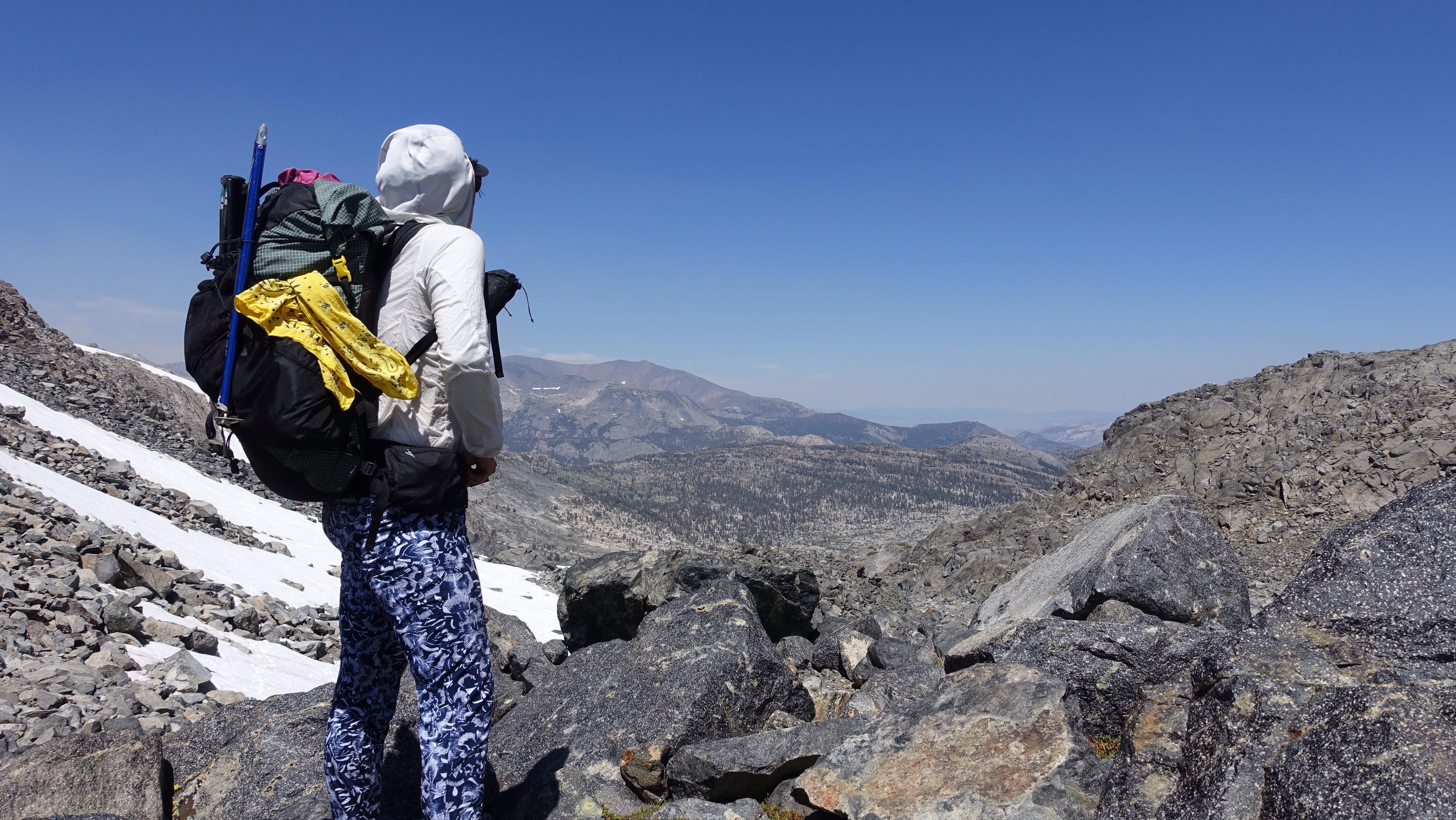
I woke up to the beep of my watch alarm, instantly went back to sleep, and dreamed then that I had broken a toenail and my toe was bleeding profusely, and every time I looked at the toe there was less and less nail, and I couldn’t understand where it was disappearing to, and it was very alarming and confusing. I woke up to the second alarm (I have three set) and decided, reluctantly, to ooze my way to awakeness. My morning routine takes me about 50 minutes: 20 minutes sitting meditation, 30 minutes pack-the-bag meditation. I wanted an early start today because I thought some convoluted territory lay ahead, but still, 50 minutes of ‘mindfulness’ later, I was breaking camp at 7:05am.
Immediately I had a rocky hill to climb. And then a long rocky side hill to contour. In fact most of my day was variations on this theme. I climbed out of Bench Canyon, noting how much more energetic my steps were early in the morning, and then curved from the Bench Canyon drainage to the North Fork of the San Joaquin, the canyon of its headwaters to be exact. There was a single lake hidden in a hanging valley that I had to maneuver around, and shortly later a pair of lakes, Twin Island Lakes, each with a picturesque little island sitting just so, off center. After a hip-deep ford of the outlet of one of the lakes (so cold! so thrilling!), I then had an extensive climb up to Glacier Pass. It was my way across the Ritter Range, a little slip of passage between the steep rocky conic Banner Peak and Mt Davis. Everything up to the ford of one of the Twin Island Lakes had been straight forward enough. Between there and Glacier Pass, though, I just wasn’t sure.


‘Complex terrain’ is how Roper describes it, and that’s an accurate description: gullies, cliffs, hidden meadows and waterfalls, all requiring a special tactic to bypass. I had plenty of time on the approach to assess the terrain, as well I could from outside it, knowing that each pass requires both strategic and tactical considerations that must be made in low-information conditions. To my surprise, I chose the right strategy for ascent: which gully to climb, when to traverse on a bench, when to simply grind up hill. I kept expecting to be lost, to discover I had taken a bad line, to have to backtrack, to be frustrated or demoralized. Still it was all so new, this Sierra off-trail terrain, but it unfolded before me easily enough, even reading Roper’s description backwards. At the top, just before the pass itself, lay Lake Catherine, surrounded by rock, snow, and ice floating in the impossibly blue water. I almost felt a kinship between us, if it weren’t for that awkward c in her name. Still, I was touched by her stark beauty. At the top of the pass, triumphant, lunching on Pringles (salty and topographical little delights), I hid from a strong wind by crouching behind some boulders and assessed the rest of my day. It was only 1:30, and I thought I wouldn’t go much further: down to Thousand Island Lake, over a small ridge, and then camp at a small lake tucked under the east side of Mt Ritter.


I did those things: down to Thousand Island Lake, many hundreds of feet on suncupped snow fields that were a little too textured for good glissading; along the lake’s mosquito-rich shore, admiring all the islands; and slowly over the small ridge, feeling worn from the long and physically challenging day.

So carefree.
From the top of the small ridge, which I more dragged myself up rather than walked, I theoretically could see ahead to the next pass, Whitebark Pass. I studied the ridgeline in front me, across a small basin, but none of the passes looked actually passable. Steep snow walls clung to every walkable bit of terrain I could see. I turned on my gps to make sure I was in the right spot, because it didn’t make sense to me that I was supposed to climb over that. But Whitebark Pass it was, and the pass in front of me was the most frightening-looking yet of all the passes I had crossed on the trip so far. Roper describes the crossing like this:
On the north side of Whitebark Pass a steep snowfield lingers most of the year; do not attempt to descend this! Instead, move about 100 feet to the east, where a steep and loose defile plunges 100 feet before fore debouching onto a talus slope or a short snowfield. Clamber down this section (if the snow is hard, be extremely careful) to the meadowlands west of the lakes that lie above the head of Garnet Lake.
All of his descriptions are for travelers heading north. Since I’m heading south, I must reverse this somehow, but from where I stood I couldn’t see how. The musicality of his language aside (debouche!), the way that Roper intended High Route travelers to cross was, I thought, impossible due to snow, so I would need to find another way.

I have noted that frequently on this hike, passes from a distance look much worse than they are when actually under foot. Remember, don’t make assumptions. I thought it possible the granite face of the mountain to the left of the snowy pass could be surmountable. It didn’t look easy, but maybe it was the nature of Sierra terrain to look formidable from far away, only to reveal gentleness in proximity.
I would have to cross some snow fields to reach the featured rock face, and I deliberated about whether to go now when the snow was soft, or in the morning with micro spikes when the snow was hard. The steepness of the snow made me think softer might be better, since the micro spikes don’t have much in the way front points, so at 4pm I decided to go. Whitebark Pass was only up 700 feet or so. Better to get it over with.
I climbed talus and snow and made it to the featured granite face of the adjacent peak without much trouble. At first the climb seemed logical: a seam ran up to the right, towards the pass, and it was full of talus that was straightforward to ascend. I discovered that the gully ended about a third of the way up the face, and I began climbing from ledge to ledge, looking for fractures in the rock as passage. As I gained elevation, the height between ledges increased and the passages became more vertical. Eventually I was full-on climbing, using little footholds and handholds, with my pack on my back like a baby chimpanzee clinging to its mother. The moves I had to make were easily low 5th class, though the exposure was, with a couple of notably sobering exceptions, decidedly (probably? hopefully?) 3rd class. At one point I had to make use of a tree to ascend one of the last tall cracks, the wide open void yawning behind me, where a fall would have been problematic to say the least. What’s curious is that I had no idea if the route would connect, if I would run headlong into impassable cliffs and be unable to continue. Every time I passed a hard spot, I would try to assure myself I could downclimb it if necessary. In the world of the mountains, up and down are not commutative: just because you can do one across a certain rocky feature, doesn’t mean you can do the other on that same feature. One must constantly be assessing the reversibility of any path. Ultimately it didn’t matter that I think I may have cheated the maxim of downclimbability and pushed forward defiantly. My climb finally topped out high above the pass on the mountain to its left, 45 tense and adrenalized minutes later, and I descended down to the pass to my right on easy talus. The climb was wild. I can just hear my mother saying haven’t I always told you never to ascend faces?! They’re not called passes for a reason! (For the record, my mother never said that). I tore my pants in three places and sliced open my knee, but I’m alive! And over Whitebark Pass!
Contouring over talus, then navigating massive snowfields flaking Banner and Ritter, made up the rest of my very tired day. The saddle between them, way high above me, graced the last of my ascent to Glacier Pass earlier in the day, its sensuous glacier hanging down almost all the way into Lake Catherine. It seemed like so long ago that I was on its west side, now to be here peering up at its east side.
As I was emerging off the snow fields next to a creek, smoke blocked out the sun. Not diffuse smoke, not the haze of fires far away. Black, thick, textured smoke, which began to fill the sky from the west side of the Ritter Range and blow east on the strong wind that has never stopped blowing since I was huddled behind a rock on Glacier Pass. The sky grew dark and I was filled with foreboding, like a reflex, like getting tapped in the knee and responding with a nervous heart. Not because I think I’m in danger: I’m on the east side of the range, and above treeline, in a land of rock and ice. But there is something beautiful and terrible about the jagged mountain crests becoming enveloped in black clouds of smoke. Something eerie about the sun disappearing without setting behind the horizon. I made camp, fighting the wind as I set up my tent, hiding from it as I lit my stove and cooked dinner. I am grateful to be just here, anxious, in the smoke, tired, chilled from the wind.

Leave a Reply