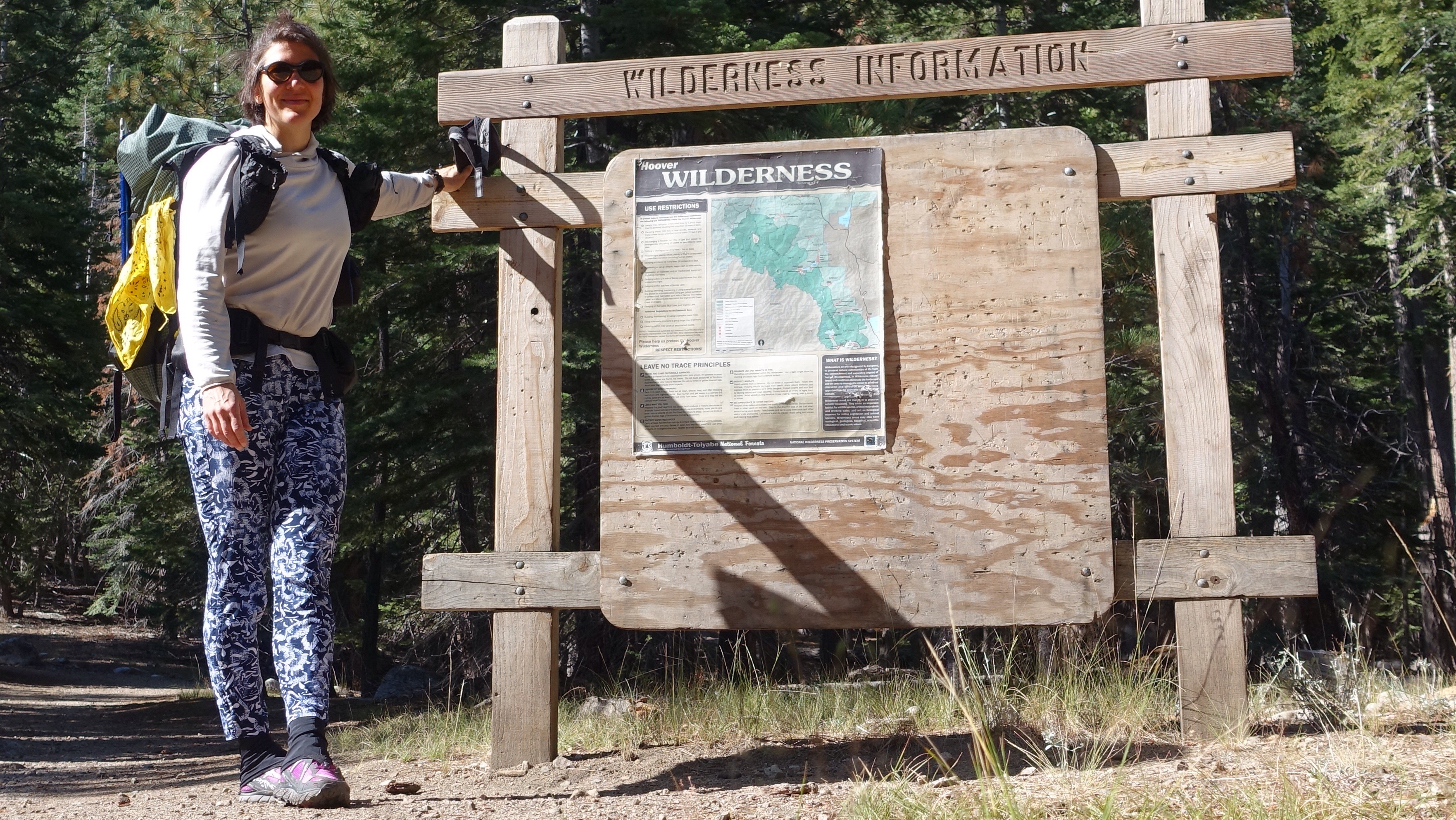
I woke up periodically through the night to the sound of the honky-tonk bar across the street. Finally I put in earplugs but then I was cold or uncomfortable or just awake for no reason. I tried to sleep in past the brightening dawn but felt I was fighting for those last few minutes. Exasperated and finally rising and packing, I headed off to get my permit from the ranger station. I got there about 20 minutes after they opened at 8am, and when I tried to change my permit to start a day earlier (mine is for beginning on the 10th but since I’m here and ready, why not begin), they said the quota was already full for the day, all filled up that very morning! Most of the trailheads in this complex of parks and national forests that contain the Sierra Nevada operate on a quota system to limit the number of people entering the wilderness each day, and even then there are astonishing numbers of hikers out there. Wilderness use is skyrocketing, growing year over year in most jurisdictions, almost as though we all know there is something important we are beginning to miss in modernity.

I picked up the permit I had reserved months ago, without changes, and hitched back through Bridgeport and then up Twin Lakes Road to its end at Annette’s Mono Village, a camping zoo packed wall to wall with RVs. I was eager to get out of there quickly–it would have been a limp start to the trip to linger among the tin can campers–and decided to start hiking up Horse Creek trail, even without the right permit, because I knew I would shortly be leaving the trail and disappearing into the rarely visited alpine regions in this part of the range.

I passed many day hikers as I climbed who were hiking up to the pretty Horse Creek Falls. Eventually there were fewer people, and then none at all, and then the trail itself disappeared too, the start of many miles over the next two months of trailless navigation. Gleeful for the many beginnings of this day, I made my way up to Horse Creek Pass on patches of snow and talus fields, climbing slowly and laboriously. My pack is heavy. I’m not acclimated. I haven’t trained as much in the last month as I would have liked to. I am confronting my slow body, my resting body, as I make the long climbs up to passes.


The Sierra High Route, which I’m hiking on now and for the next couple weeks, follows a particular pattern: ascend valleys and meadows to a pass that allows for crossing a substantial ridge line, and then descend for a little while before repeating. Remember this, because I will often be talking about my struggles and joys with these climbs, these descents. In some way, it strikes me as a tango, the mountains leading and me following with the greatest sensitivity I can offer day upon day upon day. Today I crossed two such passes, dragging my slow and tired body up a few steps, stop to rest, up a few steps, stop to rest. Horse Creek pass eventually laid beneath my feet. I stopped to celebrate my first pass of the trip.
From there, dropping down beautiful green meadows blooming with wild flowers, I got my first taste of smoke from fires in the area. The smoke may be a constant companion over the next weeks, as fires burn the flanks of the mountains. The views are therefore hazy, but still, I could see massive granite peaks rising above the sides of the valley. After a pleasant descent I left the valley floor and began a long and also tiring ascent to Stanton Pass. Stanton Pass is supposed to be technical class 3 scrambling, and I was worried that there would be snow further complicating the ascent. Scrambling is a bit like climbing–I am using my hands to pull myself up, balancing on small footholds, and coordinating supports between all four limbs to move upward. With snow on the rock, it would be dangerous and perhaps impossible. I was relieved when I finally crested a hump a few hundred feet below the pass and I could see the rock cliffs just below the pass were bare and dry. As I climbed the talus field below the cliffs, I considered my line, the route I would take upward. I looked up in study so intently on the approach that hours later my neck hurts. Nonetheless the pass was easy enough, and I enjoyed the rhythm of climbing with my whole body, feeling my pack weight me backwards and my hands pull me forwards. Before getting to the cliffs I took two falls, and on one of them I smacked my wrist hard on a rock. A bruise marks the spot, like a smear of lipstick left behind after a kiss. I was distracted, looking upward not downward. Both require attention, the long-range view of where to go when and the short-range view of the angles and surfaces of complex ground under foot.


The rest was downhill dancing, stepping lightly and precisely on talus blocks, navigating a series of ledges interspersed with short granite cliffs and patches of white bark pine, the occasional snow patch. Eventually I passed a remote alpine lake, and then dropped like a slow-tumbling stone fourteen hundred feet to the bottom of Virginia Canyon, not too far below its headwall. Rock and meadow gave way to pine forest and thick green grass. I stopped down here, among the grass and the flowers, to camp, startling a dappled fawn from a nest of grass as I was looking for a flat place. It’s the lowest camping option I have, and I’m trying to ‘climb high, sleep low’, at least for the first few days while I acclimate. My highest point today was 11000 feet, at Stanton Pass, and I’m now tucked in to a cozy 9200 feet.
I feel like I’m getting my sea legs. Except instead of a sea of water, it’s a sea of rock, sky, snow, and meadows. And of climbing forever, and then descending forever, all the while balancing on exacting, unstable rocks.

Leave a Reply